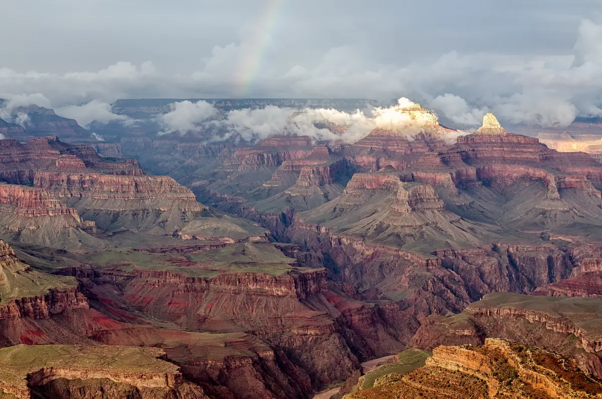
Grand Canyon hikes on the South Rim: what is open
Most South Rim hikes fall into two groups. The Rim Trail runs along the edge and is mostly paved. The corridor trails, South Kaibab and Bright Angel, drop into the canyon and are steep. A hike below the rim means a climb on the way back.
In autumn 2026 the corridor trails are only partly open because of flood damage. This page lists the limits as of October 2026. If you would rather not plan a hike yourself, a guided Grand Canyon tour covers viewpoints and rim walks without route planning. See our Grand Canyon South Rim tours.
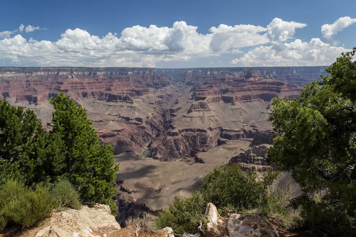
Our pick: a guided hike below the rim
A private hike with gear and food, a good way to start with an experienced guide.
Hand-picked tours, booked through GetYourGuide. Prices are indicative starting prices in US dollars (as of October 2026). Tap a tour for live availability and the current price in your currency.
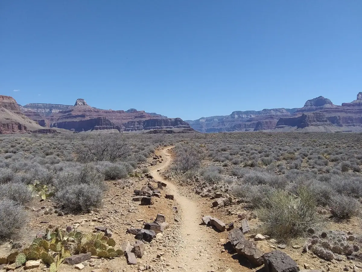
Guided walks and tours at the Grand Canyon
Guided South Rim experiences with live prices and availability. Check each card for what is included and whether park entry applies.
Open South Rim trails and closures
Status as of October 2026. Check the current conditions with the National Park Service before you go.
| Trail | Open from the rim | Closed |
|---|---|---|
| South Kaibab Trail | Trailhead to Tipoff | Everything below Tipoff |
| Bright Angel Trail | Trailhead to Mile-and-a-Half Resthouse | Beyond it to Havasupai Gardens |
| Rim Trail | Along the rim | – |
| Phantom Ranch, North Kaibab, both river bridges | – | Closed, no estimated reopening |
The Tonto Trail from Tipoff to Havasupai Gardens and Plateau Point are open on their own. They cannot be reached from the rim at the moment, because both corridor trails are closed below the points above. Do not plan a loop. For most visitors, a good plan is the Rim Trail plus a short out-and-back on one of the two corridor trails.
Rim Trail: the easy way along the canyon
The Rim Trail follows the canyon edge for about 13 miles (21 km), from the South Kaibab Trailhead to Hermits Rest. Most of it is paved. It is not fully step-free, so check the section you plan to use. You can start and stop anywhere the shuttle stops, which makes it easy to walk a part and ride back.
Two sections are popular. Near the Visitor Center, Mather Point is about 5 minutes on foot, and Yavapai Point with its geology museum is about 0.7 miles (1.1 km) from that area. West of the village, the rim trail runs alongside Hermit Road. That parallel rim trail is 7.8 miles (12.6 km) long.
Private cars are not allowed on Hermit Road from 1 March to 30 November. Walking and cycling are possible all year. In winter, cars under 22 ft are allowed, depending on snow.
See the Grand Canyon tours guide if you want to combine walks with a guided trip.
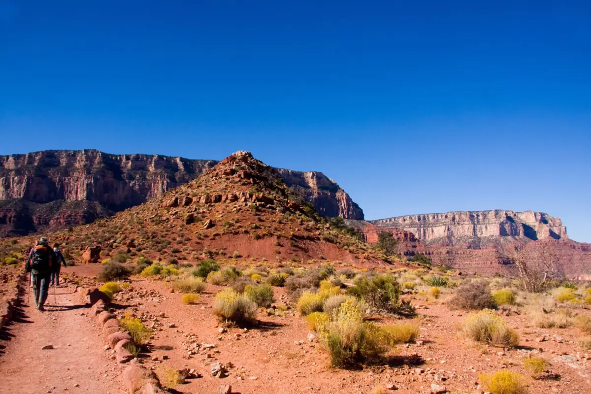
Phantom Ranch: status and what it means for your plans
The canyon floor is not an option right now.
Phantom Ranch lodging, the canteen and Bright Angel Campground are closed, as are North Kaibab and both river bridges (as of October 2026). There is no estimated reopening date. Boat Beach is closed except for emergencies and a short look at the rapid.
Offers for Phantom Ranch beds or canyon rides may still appear online. They do not change the closures. Do not plan a Rim-to-Rim or Rim-to-River trip for now. If you have a permit or a booking for a later date, ask the operator what applies.
If Phantom Ranch is on your list for a future trip, read about the trails that lead there: the South Kaibab Trail and the Bright Angel Trail.
Day hike safety at the Grand Canyon
The climb back is the hard part.
Heat
In summer, the National Park Service advises against hiking between 10 a.m. and 4 p.m. Near the river by Phantom Ranch it is often over 100 °F (38 °C), while the South Rim is much cooler. Plan early starts, bring food and water, and rest in the shade.
No river in a day
Do not try to hike from the rim to the river and back in one day, especially from May to September. More than 300 people are rescued in the park each year.
Water
The trailheads of Bright Angel and South Kaibab have a drinking water tank. Water on the trails is switched off at the rest houses and at Havasupai Gardens. Carry what you need for the whole hike. Drinking far too much water can also be dangerous, so take regular breaks and eat.
Winter ice
Trails can be icy in winter. The National Park Service recommends slip-on traction devices and trekking poles. No route is guaranteed to be free of snow or ice.
Winter at the Grand Canyon →The edge
Stay at least 2 m (about 6 ft) from the edge and behind railings. Do not throw anything into the canyon, and do not take plants, rocks or artifacts.
Permits for overnight trips
Normal day hikes do not need a permit.
A day hike for non-commercial purposes does not need a backcountry permit. Overnight stays outside developed rim campgrounds do. A permit costs $10 per request plus $15 per person per night below the rim or $4 per person above it. Park entry is extra. Permits are issued through an early-access lottery on Recreation.gov, for example with a deadline of 1 January for start dates in May, and sold afterwards on a general basis. A permit does not open a closed trail.
Grand Canyon hikes: frequently asked questions
Which Grand Canyon hikes are open?
As of October 2026, the Rim Trail is open, South Kaibab is open to Tipoff and Bright Angel is open to Mile-and-a-Half Resthouse. Everything below is closed.
Can I hike to the river and back in a day?
No. Rim-to-river-to-rim in a single day is not recommended, especially from May to September, and the river trails are closed at the moment.
Do I need a permit for a day hike?
A normal non-commercial day hike does not need a backcountry permit. Overnight trips below or outside developed campgrounds do.
Is Phantom Ranch open?
No. Lodging, the canteen and Bright Angel Campground are closed, and there is no estimated reopening date (as of October 2026).
Is the Rim Trail suitable for everyone?
It is mostly paved, but it is not fully step-free. Check the section you plan to walk.
Is this an official Grand Canyon website?
No. This is an independent travel guide. It is not run by the National Park Service. Check the current trail status with the National Park Service before you go.